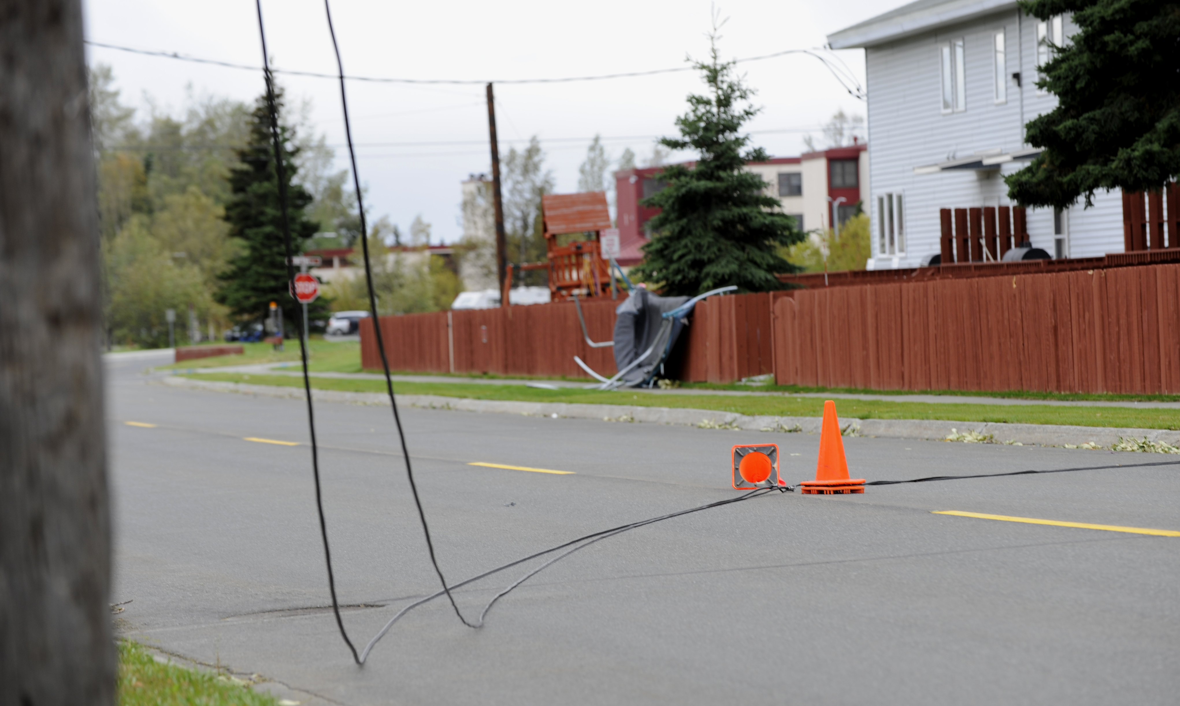
More than 100,000 DTE Energy customers remained without power Thursday afternoon after two rounds of severe storms swept through Oakland County and the Birmingham-Bloomfield area, with a second wave of storms Thursday morning making outages worse before crews could catch up.
DTE reported 49,901 outages as of 12:07 a.m. Thursday, Sept. 3, according to The Detroit News. That number climbed through the morning — reaching 81,500 by 6 a.m. and 90,265 by 7:39 a.m., according to The Oakland Press and CBS Detroit — before a second storm system moved through central Oakland County between 10:50 and 11:45 a.m., pushing the regional total past 113,000 by midday, the Oakland Press reported. DTE said more than 100,000 customers remained without power heading into a 2 p.m. media briefing on restoration efforts, according to ClickOnDetroit.
The storms followed a day that hit 96 degrees at 2:41 p.m. Wednesday, just short of the record 100 set in 1953, The Detroit News reported.
The first wave of severe weather arrived around 7 p.m. Wednesday, tearing through the northern counties of Southeast Michigan, according to FOX 2 Detroit. The National Weather Service (NWS) issued a tornado warning for St. Clair County. That system moved into Ontario, Canada, giving residents a brief break.
The second round hit around 11 p.m. The NWS issued a severe thunderstorm warning at 10:25 p.m., tracking storms moving east at 30 mph along a line from near Oak Grove to near Fowlerville. The storms were capable of producing 60 mph wind gusts and half-dollar-size hail, the NWS said.
Birmingham was in the direct path. The NWS forecast the second-round storms would reach West Bloomfield around 11:10 p.m., Southfield and Birmingham around 11:20 p.m., and Troy and Royal Oak around 11:25 p.m.
Franklin was also listed in the warning area, along with Waterford Township, Orchard Lake, Auburn Hills and other communities.
Thunderstorm warnings covered Oakland, Washtenaw, Livingston and Macomb counties until 11:45 p.m. Wednesday. A separate flood warning for southern Oakland County, southwest Macomb County and northern Wayne County remained in effect until 5:30 a.m. Thursday, with up to 2 inches of rainfall expected.
North of metro Detroit, the overnight storms brought significant damage. Howell recorded 70 mph wind gusts. Birch Run and Capac reported 2-inch hail. Kimball saw 1.5-inch hail, while Williamston and Otter Lake each reported 1-inch hail.
A second, separate severe thunderstorm warning went into effect at 10:50 a.m. Thursday for a storm system moving through central Oakland County, with gusts up to 70 mph expected until 11:45 a.m. DTE said more than 2,600 storm response crews were working to restore power Thursday, with additional crews en route from out of state.
No restoration timeline specific to the Birmingham-Bloomfield area has been announced. Residents can check current outage status and restoration estimates at DTE Energy's outage map.